Optical Remote Sensing | Computer Vision | GeoAI
I am a geospatial scientist.
My work is cross-disciplinary, spanning remote sensing, computer vision, and geospatial science.
Specific areas of interest include machine learning, deep learning, XAI (eXplainable Artificial Intelligence), generative AI, hyperspectral imaging, UAVs (drones), 3D modeling, computational imaging, and photogrammetry.
In my current role as Data Scientist at the World Bank Independent Evaluation Group, I lead the development and application of image-based methodologies (including remote sensing images and street-view photos) for the evaluation of international development projects.
I completed my postgraduate education at the University of Oxford and the University of Edinburgh.
I am also a certified drone pilot.
Highlighted Papers
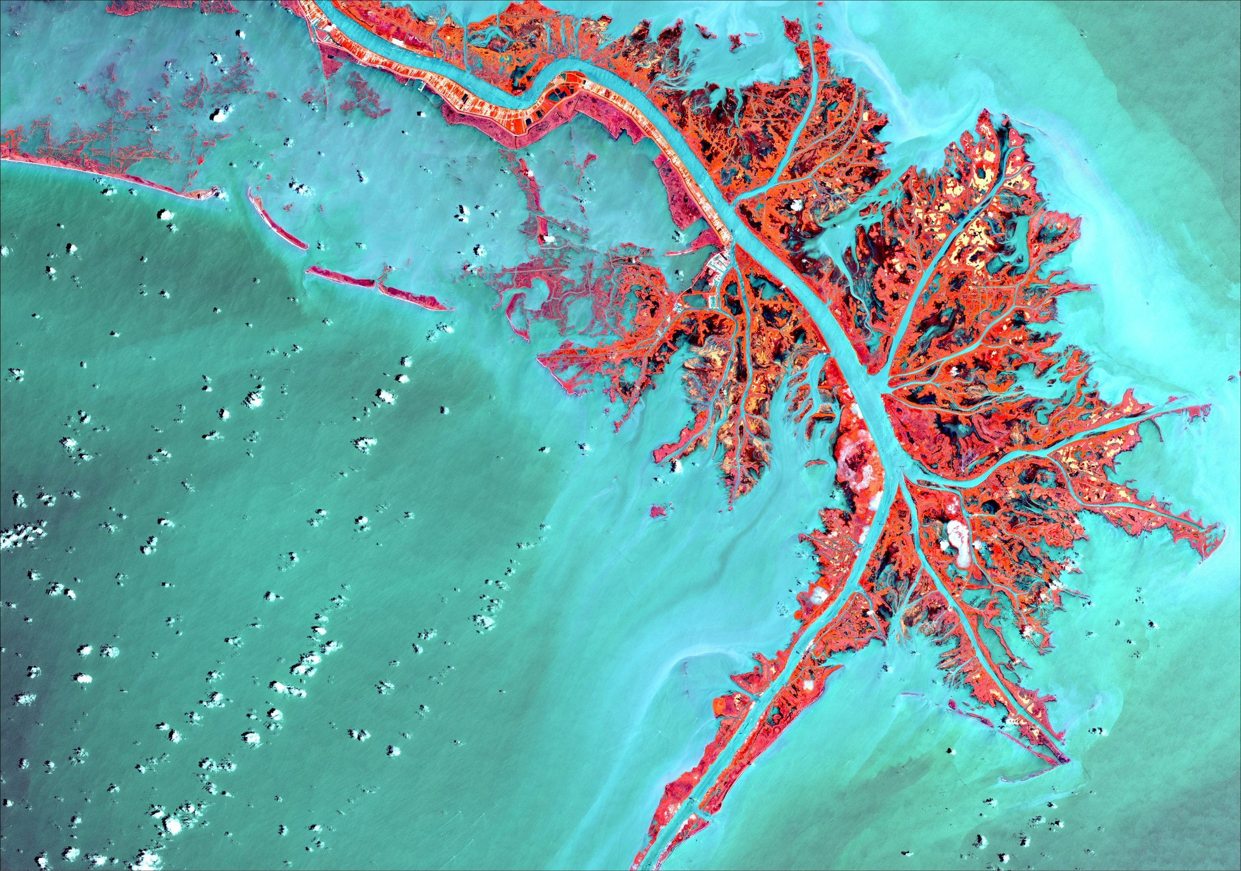
Advancing Deepfake Detection in RGB Satellite Imagery Through Domain Specific Ensembles
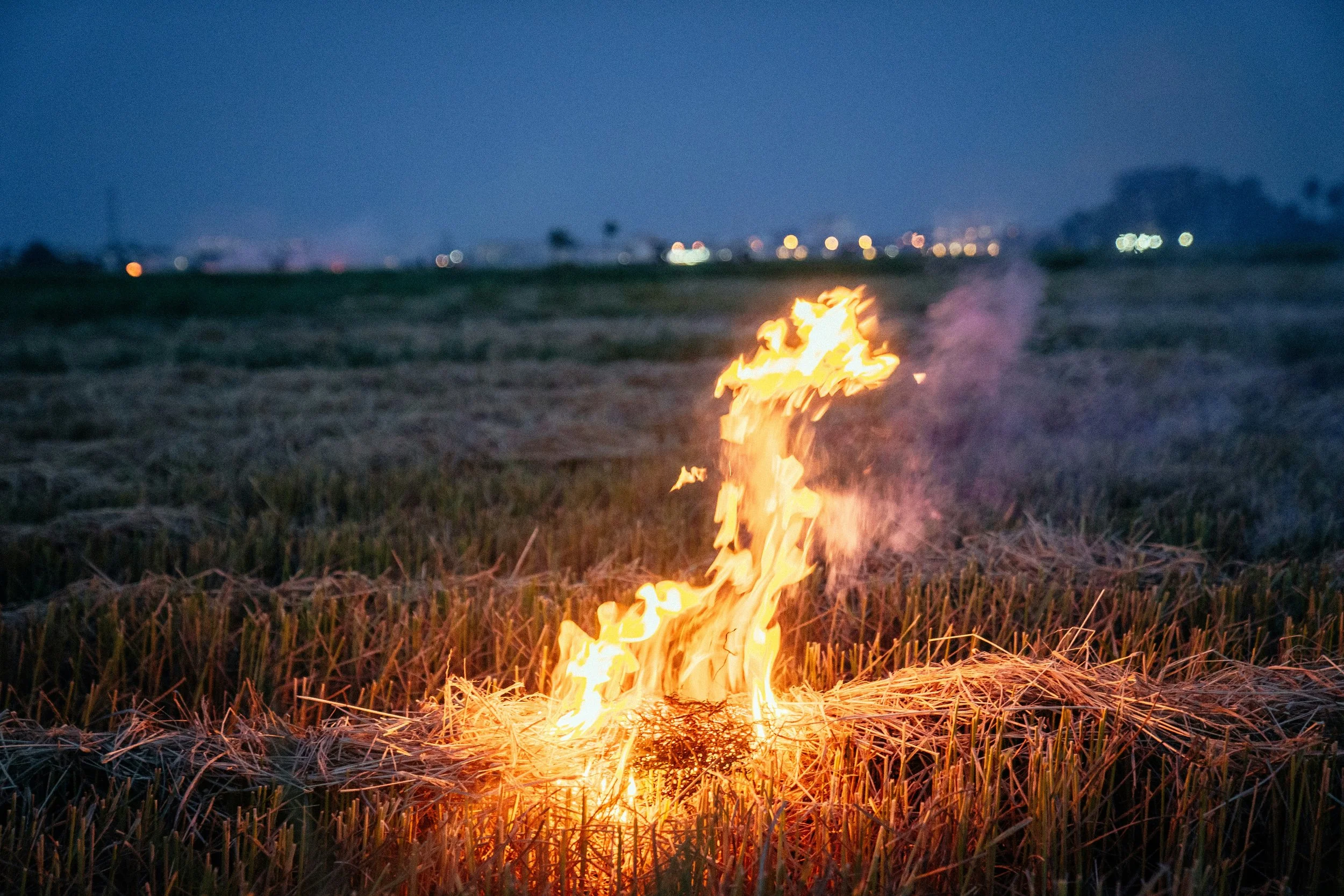
Does Adoption of Zero Tillage Reduce Crop Residue Burning? Evidence from Satellite Remote Sensing and Household Survey Data in India
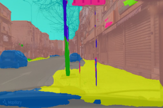
Leveraging Imagery Data in Evaluations. Application of Remote-Sensing and Streetscape Imagery Analysis